
|
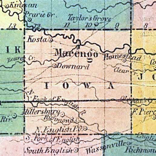
Iowa County detail from Map of Iowa exhibiting the townships,
cities, villages post offices, railroads, common roads & other improvements. Mendenhall,
Edward. Created/Published Cincinnati, 1855. Listed in R. S. Ladd's Maps Showing
Explorers' Routes ... (Washington, Govt Print Off., 1862), 143.
From the
Library of Congress Geography and Map Division, a.ka., Library of Congress American
Memories. See Copyright and Restrictions at this link. Resized and manipulated for this
site by Stephen D. Williams 2005.
|