
1875 Maps of Buchanan County
| I purchased this map off EBay and scanned it and divided it by townships or towns. Townships are arranged below in the rough position they appear within the county. Please feel free to save the township maps to your hard drive. |
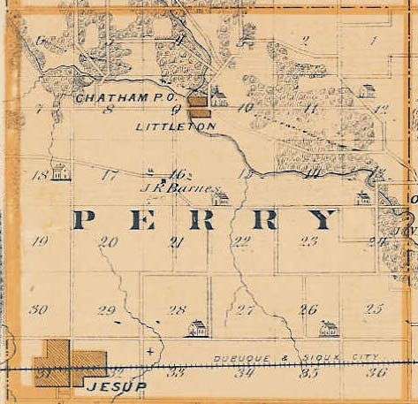
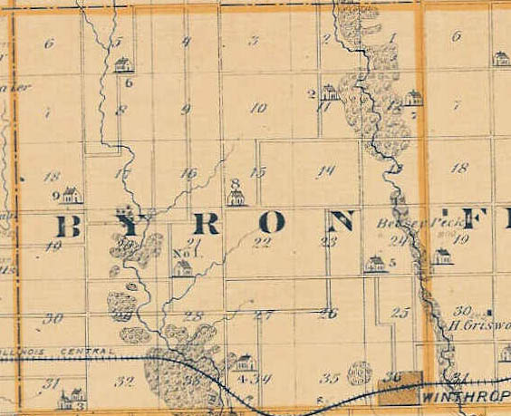
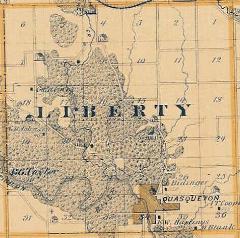
| Perry (62 kb) | Byron ( 63 kb ) | Liberty ( 61 kb ) | Washington (116 kb) |
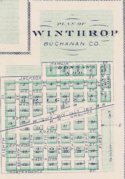
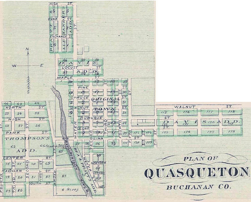
| Jesup Town (254 kb) | Winthrop Town ( 82 kb ) | Quasqueton Town (133 kb) | Independence City (393 kb) |
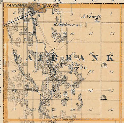
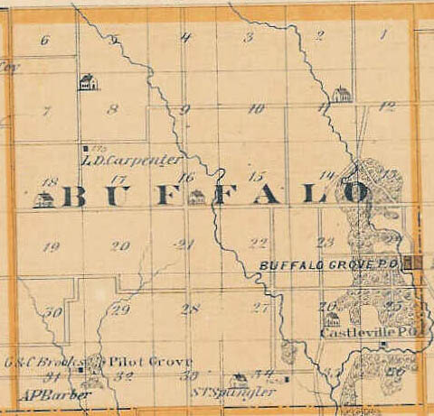
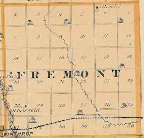
| Fairbank ( 74 kb ) | Buffalo ( 54 kb ) | Madison ( 47 kb ) | Fremont ( 42 kb ) |
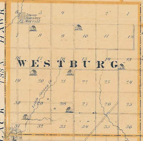
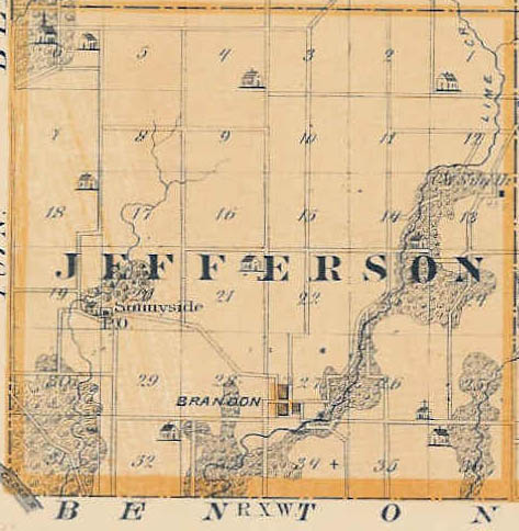
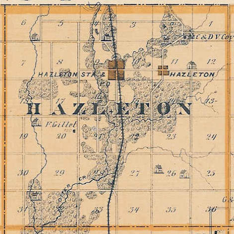
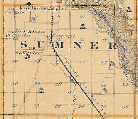
| Westburg ( 45 kb ) | Jefferson ( 59 kb ) | Hazleton ( 72 kb ) | Sumner ( 49 kb ) |
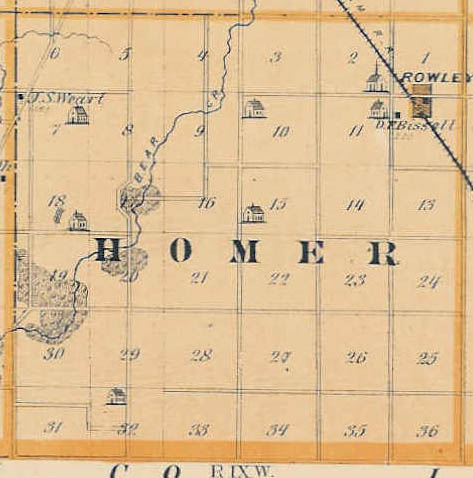
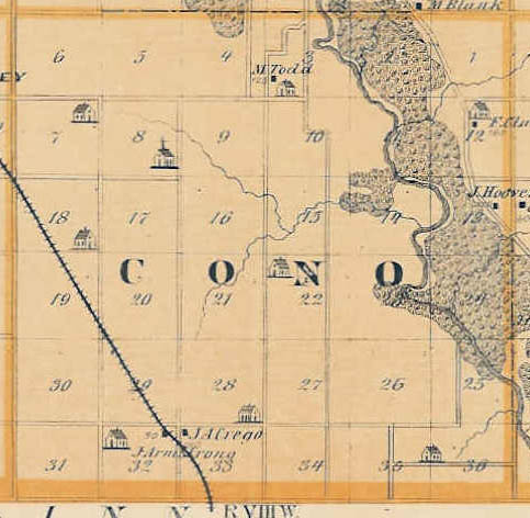
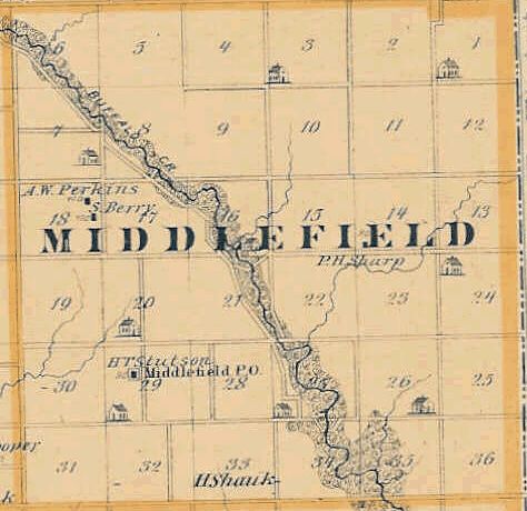
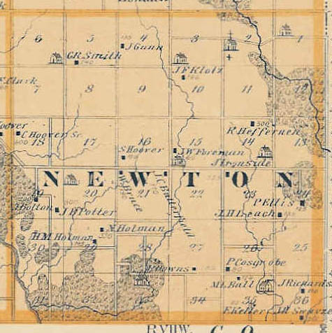
| Homer ( 46 kb ) | Cono ( 50 kb ) | Middlefield ( 43 kb ) | Newton ( 64 kb ) |

Copyright © 2013-2021 The submitters & IAGenWeb
Please read the IAGenWeb Terms, Conditions & Disclaimer
All apply to Buchanan County website.